Climate
Building resilience in the face of climate reality

Jump to
Our view
Millions of people live in regions highly vulnerable to climate impact and vulnerable communities disproportionately bear the negative impacts. Our solutions help develop climate resilience in a well-informed and data-driven way. Through mapping, modelling and monitoring solutions combined with consultancy, we support you to understand, adapt to, and track climate impact across coastlines and inland waters. Reliable Geo-data combined with the right domain expertise are essential for this and will help you make better decisions and inform the best course of action.

Rutger Perdon
Industry Lead - Climate
Understanding the complex context of climate change and its future impacts under various scenarios
How does climate change impact water resources?
Higher temperatures and extreme weather conditions affect rainfall, snowmelt, river flows, sea levels, and groundwater, with carbon dioxide emissions from burning fossil fuels contributing to ocean acidification and impacting both water quantity and quality. This leads to issues related to too much water, too little water, or water of poor quality.
How can Geo-data and expertise support informed decision-making on climate action?
By combining domain and Geo-data expertise, we help you understand the complex context of climate change and its future impacts under various scenarios. Understanding the causes of climate hazards and their context are key to developing effective adaptation strategies that address root causes, not just effects. Addressing other relevant future trends ensures sustainable, long-lasting solutions. Given the high impact of climate hazards and significant costs of adaptation, a proper and quantified understanding of direct and indirect risks helps find the best path to resilience. We incorporate nature-based solutions, conserving and restoring habitats to boost biodiversity.
What is the role of climate risk mapping in resilience strategies?
Climate risk mapping plays a vital role in developing resilient strategies, by identifying key sectors, resources, and infrastructure at risk. By identifying hazards like sea level rise and extreme weather events and mapping vulnerabilities like susceptibility to floods or droughts, decision-makers can prioritise actions especially when climate risks have been properly quantified. These maps help industries and authorities plan for climate events and change, ensuring efficient use of resources while protecting human health and the natural environment.
How can partnering with us help achieve climate resilience?
Partnering with us provides you with expertise in mapping, modelling, and monitoring, combined with consultancy, to help you understand climate impact, adapt to climate impact, and track climate impact. Our approach ensures that you can achieve climate resilience in an informed and efficient manner.
What is adaptive planning for climate resilience?
Adaptive planning is a crucial approach in addressing the challenges posed by climate change. It involves developing strategies that are flexible to future and often uncertain climate conditions.
Adaptive planning is often based on climate adaptation pathways which helps communities and policymakers plan for and respond to the impacts of climate change over time. It makes use of scenarios and definition of tipping points where certain decisions and action are needed. Continuous monitoring of climate variables and impact are key to provide feedback to the strategy and to inform action, meaning geodata is crucial to become and remain resilient.
Examples include for example diversification of water sources, flexible flood management strategies that can be adjusted based on real-time data and creation of multifunctional public spaces.
How does geospatial data impact climate action?
Geospatial data plays a vital role in climate action by offering a precise understanding of climate impacts, risks, and vulnerabilities. It enables decision-makers to map water resources, identify areas prone to extreme weather events, and track changes in environmental conditions. Geospatial tools enhance the ability to predict future climate impact scenarios, aiding in climate adaptation, water resources management, and planning for sustainable development.
We address challenges in the following domains
Flood management
We address flood risks by integrating prevention, preparedness, response, and recovery strategies. Our Geo-data and flood risk modelling provides critical insights into water systems and future developments, enabling informed decision-making. Our monitoring services ensure the effectiveness of measures and readiness for emergencies, offering peace of mind and enhanced safety.
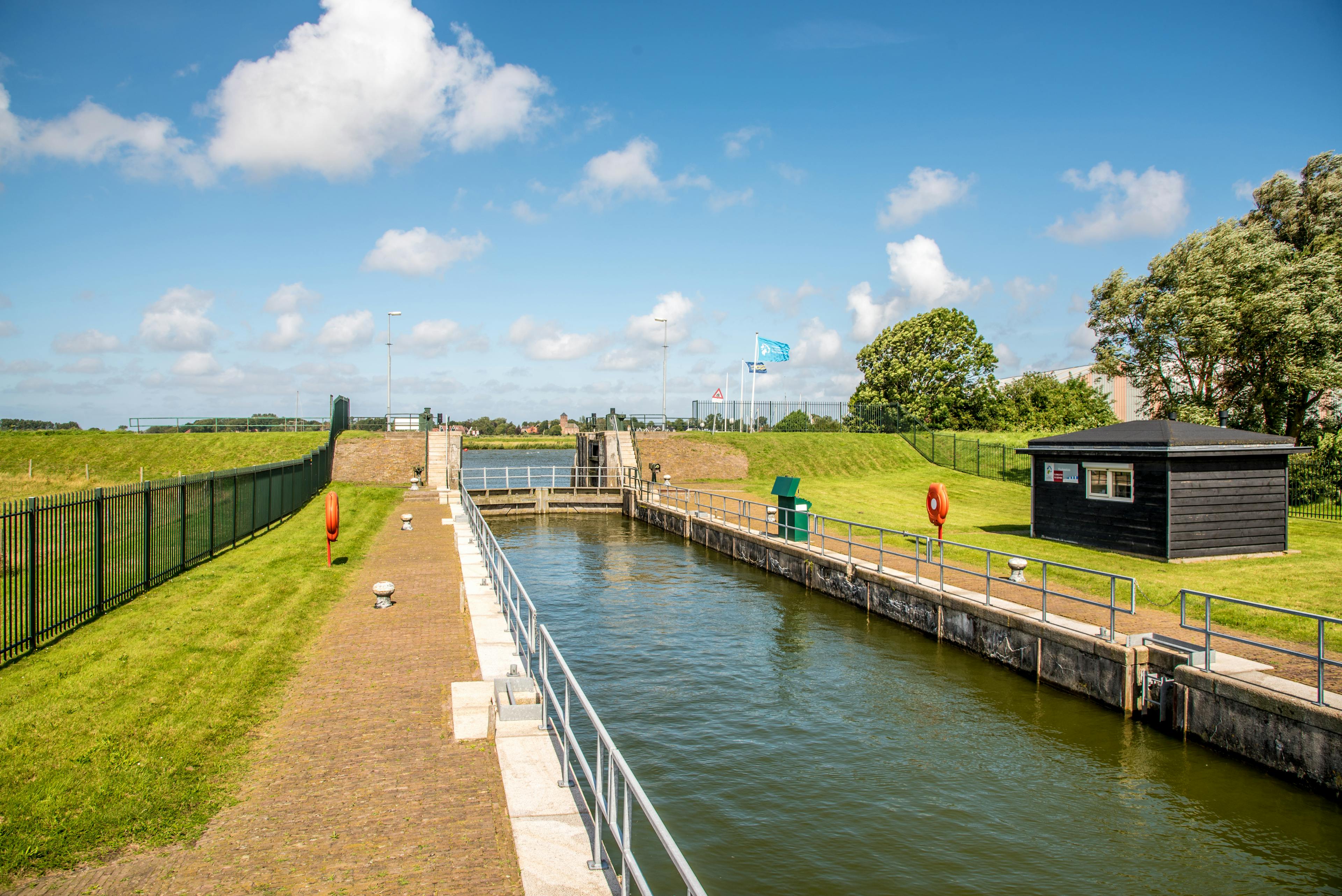
Integrated coastal zone management
We support clients in managing coastal areas sustainably providing key insights through comprehensive Geo-data and our metocean models. By understanding and mitigating hazards like storms, floods, and erosion, we help protect coastal communities and infrastructure. Our expertise in data acquisition, modelling, and planning ensures resilient and sustainable solutions, making us a trusted partner for long-term coastal management.
Integrated water resources management
Our approach to integrated water resources management provides clients with valuable insights into water resources through geospatial data and advanced modelling. We support sustainable water allocation and anticipate changes in water availability, ensuring efficient and equitable resource management. Our holistic approach maximizes economic and social welfare without compromising ecosystem sustainability.
Our expertise supports the development of water resources management plans and sustainable management practices, protecting both natural resources and human health. With a focus on future impacts, we help decision-makers navigate complex challenges and achieve their goals in a sustainable way.
Climate resilient assets and infrastructure
We enhance the resilience of assets and infrastructure to climate change impacts through comprehensive risk assessments and Geo-data analysis. By incorporating climate conditions into planning and design, we help protect and strengthen infrastructure. Our monitoring capabilities ensure timely and effective interventions, safeguarding investments and ensuring long-term functionality of essential systems.
By addressing risks involved with climate change, we support the sustainable development of critical infrastructure. Leveraging Geo-data expertise and innovative strategies, we empower decision-makers to prioritise climate change action, protect communities, and strengthen the resilience of essential systems.
Water quality
As climate change accelerates, water quality is increasingly impacted by extreme weather events and population growth. We enhance water quality management through state-of-the-art monitoring and analysis. Our capabilities include monitoring and assessing water quality parameters (in situ and spatial), identifying pollution sources, and providing solutions for contamination remediation. By leveraging advanced technologies and Geo-data, we ensure safe and sustainable water resources, supporting environmental health and regulatory compliance.

Business news
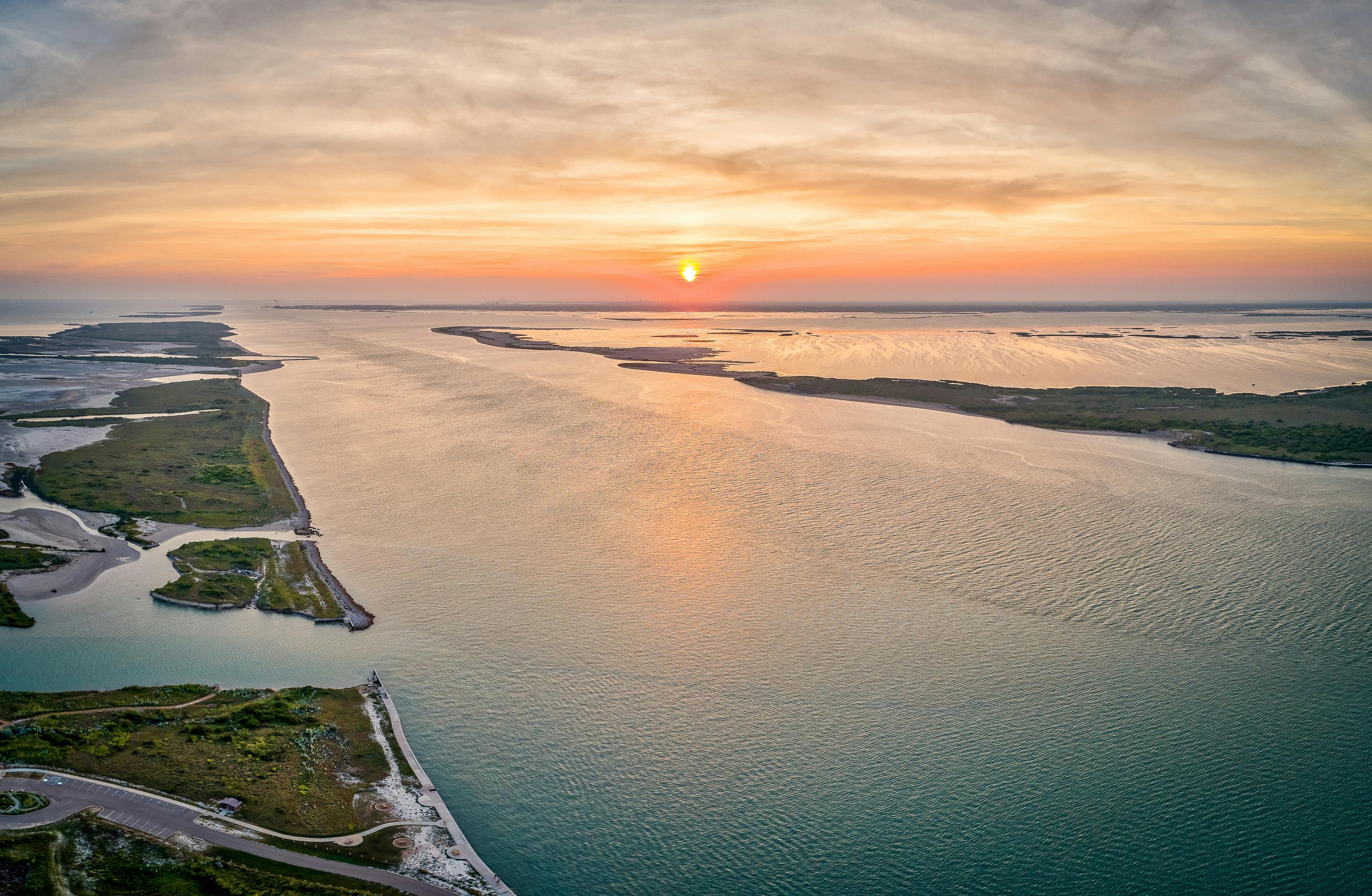
Fugro supports coastal resilience in Texas and Louisiana through NOAA contracts
The National Oceanic and Atmospheric Administration (NOAA) has awarded Fugro two mapping projects on the US Gulf Coast to monitor and quantify shoreline change in this flood-prone region.
Long read
Coastal resilience is key to preserving our planet’s diversity
Fugro’s Group Director for the Americas and President of Fugro USA Céline Gerson, makes a personal case for building coastal resilience through Geo-data to safeguard the histories and ecosystems that have enriched our human experience for generations.
1 / 2
Technical papers
All technical papersCase studies on Climate
All case studies

Contact us
Get in touch about Climate

Rutger Perdon
Industry Lead - Climate

Metocean
Unleash the potential of Fugro's metocean services in addressing environmental challenges
Our comprehensive data on oceanographic and meteorological conditions is crucial for both climate resilience and nature conservation initiatives. By offering detailed insights into sea states, currents, and weather patterns, we enhance the understanding and management of marine environments. This supports biodiversity, preserves natural habitats, and fortifies defenses against climate impacts. Additionally, our services promote safer and more efficient operations for marine and coastal projects, driving sustainable development while minimising environmental impacts.