Case study
Establishing Cameroon's National Geodetic Network
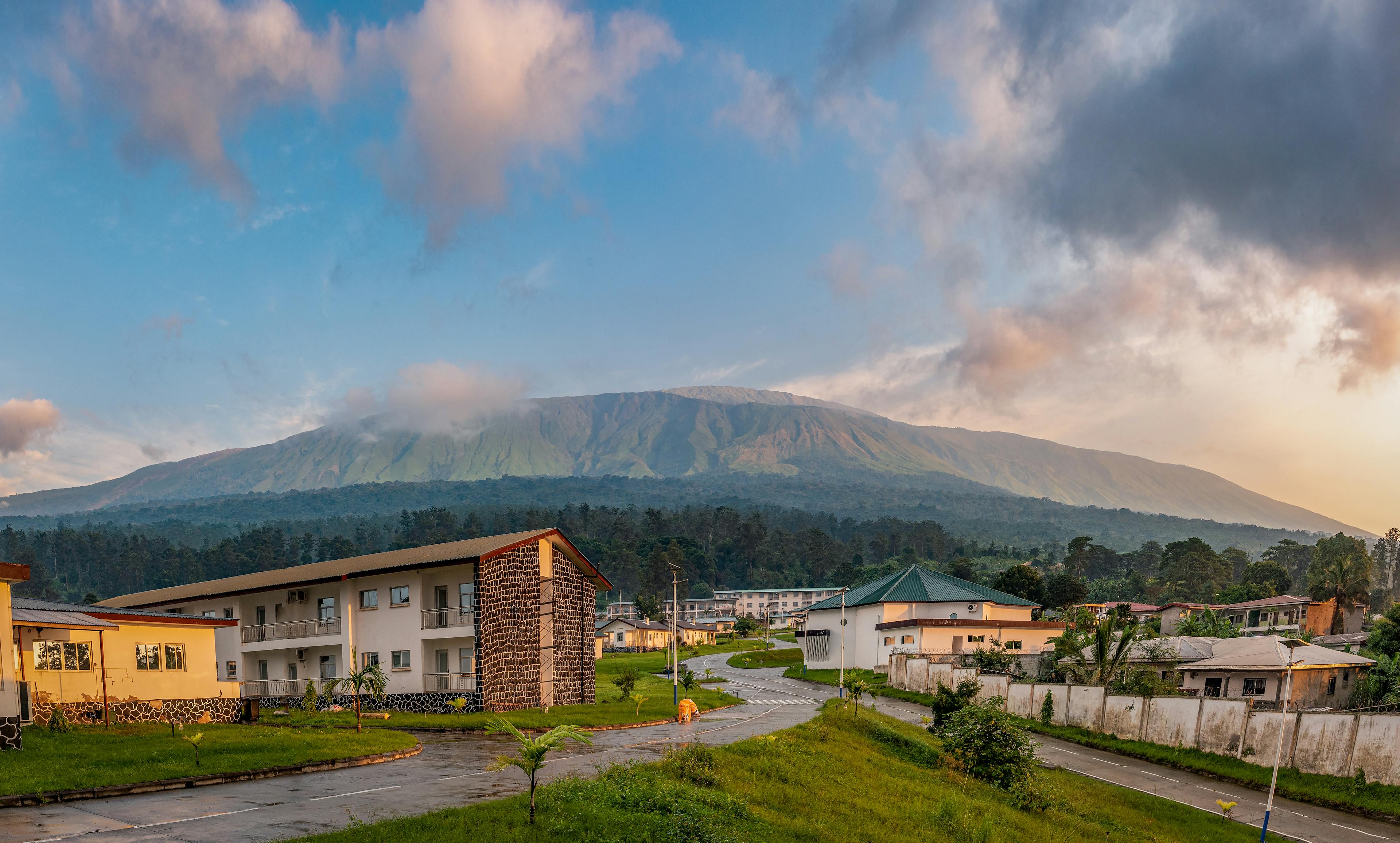
Cameroon
Client
Ministry of State Property and Land Tenure (MINDCAF)
Project duration
January 2011 - December 2011
Cameroon’s Ministry of State Property and Land Tenure (MINDCAF) embarked on a programme of land reform and modernisation and needed a national geodetic network before the modernisation of its national cadastre could start. Fugro delivered the geodetic network within a year, using experienced surveyors and state-of-the-art technology, providing MINDCAF with an objective, detailed and scientific network to allow applications such as the measurement and delineation of property parcels and building cadastral maps.
Life cycle
Planning, feasibility, conceptual design
Design
Construction
Operations and maintenance
Decommissioning
Show full process

Survey and mapping
Survey and mapping
Through mapping and surveying our built and natural environment, from the depths of the ocean all the way to space. Our capabilities include aerial mapping, satellite monitoring and mapping, geospatial GIS solutions and more.
Territory was was measured
Square kilometres
In December 2010, MINDCAF selected Fugro to identify, mark and measure a total of 525 points throughout the 475,000 square kilometre territory. The project was divided into four phases:
Preliminary study and terrain reconnaissance to identify suitable sites for network points
Building the monuments and markers on the ground for each network point
On-site GPS observation of each network point and levelling
Data processing to calculate the final precise coordinates of the network
Reconnaissance and observations
During the reconnaissance phase which ran from January to March 2011, Fugro worked with MINDCAF representatives from each of the ten administrative regions to select suitable locations. Selected locations included schoolyards, police stations and other public areas where monuments were less likely to be damaged or removed.
When the points had been identified and approved by the government, the next two overlapping phases consisted of building the monuments and performing the precise GPS observations and levelling tie-in. Once the network points were built, 25 reference points and 500 base points were observed.
The survey teams typically observed five to ten points at the same time as the reference points to form a block. This meant that during the measurement of a block points, a total of eight or more survey teams had to be deployed simultaneously to eight different locations spread over several hundred square kilometres and synchronised.
A major challenge for the project was to coordinate the survey teams on the ground during the on-site construction and GPS measurement phases.

A challenging environment
Cameroon’s geography has high mountains in the West of the country, mangrove swamps on the coastal plain, jungle terrain in the east and savannah and desert further inland. We faced numerous obstacles, including flooded rivers and roads and other technical and administrative constraints. Teams were sometimes unable to reach their assigned locations and had to be redirected in real-time by the chief surveyors. Thanks to this and constant communication between the survey teams and the project management team via satellite phones, Fugro was able to complete all ground operations before the start of the rainy season.
Data processing
The reference network of 25 stations was processed with the GAMIT/GLOBK universitary state-of-the-art software. With a unique expertise in using this software, the Fugro team was able to calculate a final geodetic solution in four iterations based on the 58 most relevant permanent stations (maintained by the International GNSS services for Geodynamics 5IGS), the selected stations were in Africa, Europe, and the Middle East. Accuracy of this base network of 25 references stations is then considered to be a few millimetres, as we have Root Mean Square values better than 5 millimetres in planimetry and 9 millimetres in heights.
A reliable foundation
Final project deliverables were submitted to the MINDCAF and IGN France International for final quality control and approval. This phase also included additional training to MINDCAF personnel to ensure the transfer of technology and know-how, so the agency may become self-sufficient in maintaining the network. Over the course of the next few years, MINDCAF intends to densify this base network with several thousand more points.
Supporting a nation's land reform programme
The network created provides an objective, scientific basis for many applications, including measuring and delineating property parcels and building cadastral maps. This in turn has given Cameroon land property information that is critical to the nation’s legal and fiscal system, as property taxes are an important source of revenue for the majority of nations around the world.
Our staff are proud to have participated with MINDCAF on a successful programme that is of such critical importance to Cameroon’s long term economic development.

What we do at Fugro