Sustainable nfrastructure
building resilient, green infrastructure for sustainable development

Jump to
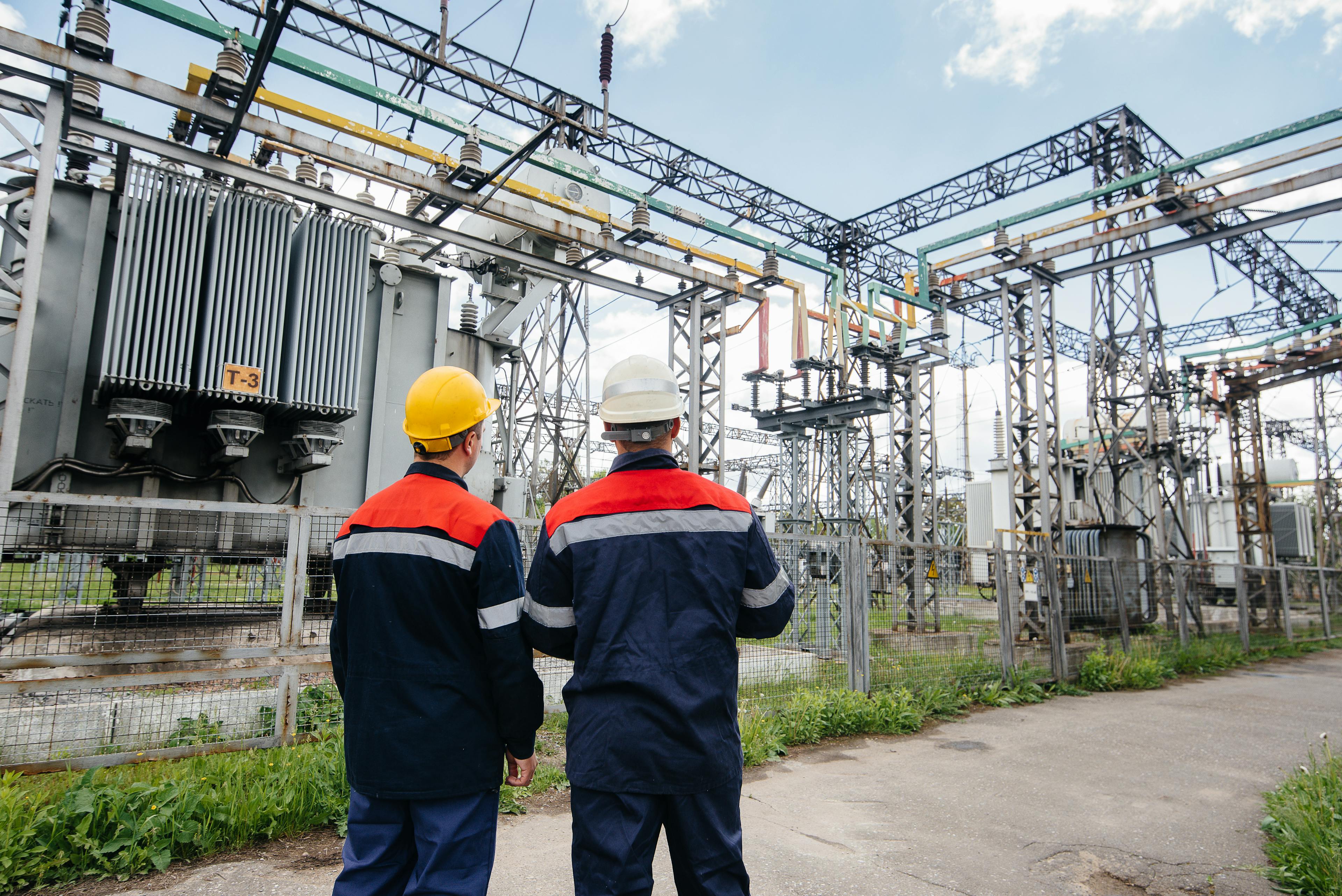
Our view on sustainable infrastructure
With growth comes growing pains. That certainly goes for cities – they need proper infrastructure to support their growing populations. So much so, that by 2030, the world will have to invest around $90 trillion in sustainable infrastructure. Not just to support population growth, but economic growth and economic stability in emerging markets and developing countries as well. And to renew existing infrastructures, making them more resilient to climate change. We support the development of sustainable infrastructure throughout every phase of the life cycle. When it comes to design and construction, we understand there’s no one-size-fits-all solution – sustainable infrastructure projects need a tailored approach. That’s how you get truly resilient structures. From end to end.

Leonard Sands
Global lead - Foundation design and testing
More information about sustainable infrastructure
What is sustainable infrastructure?
"Sustainable infrastructure" means designing, building and maintaining infrastructure with a focus on minimising environmental impact, maximising resource efficiency and supporting social and economic goals. This means integrating environmental sustainability principles into infrastructure to reduce carbon emissions, conserve natural resources and be resilient to climate change. Examples of sustainable infrastructure include using eco materials, energy efficiency, waste reduction and planning for long term adaptability of the infrastructure to future needs and environmental conditions.
In short, sustainable infrastructure means creating systems – transport, energy, water and buildings – that meet human needs now and preserve ecosystems and resources for future generations, reducing impact on global warming.
Sustainable infrastructure: What does it look like?
Sustainable infrastructure integrates practices that protect the environment, support social needs, and promote economic viability. Examples include:
Renewable Energy Sources: The integration of solar power and wind energy are increasingly incorporated into infrastructure for environmental sustainability
Water Conservation Systems: Infrastructure that uses greywater recycling or rainwater harvesting helps conserve precious water resources.
Addressing environmental sustainability challenges and issues
While our services are highly effective, they are not without challenges. Environmental hazards are a big issue in infrastructure development, our remediation approach is to reduce these hazards and make it safer. Our real-time detection systems ensures we can manage and resolve safety and environmental issues quickly.
By addressing issues fast, we keep projects on track and compliant to environmental regulations. Our approach consistently supports sustainable development and economic growth. We show our commitment to environmental sustainability by reducing carbon footprint and mitigating the effects of global warming and climate change.
Our infrastructure development services create infrastructure that meets the needs of the community without compromising the ability of future generations to meet their own needs. This focus on sustainable measures and economic policy aligns with the goals of the United Nations and other global organisations.
Addressing challenges is integral to our consulting services. By creating green infrastructure solutions that are robust and adaptable, we support economic development and environmental sustainability of the surrounding communities. We reduce biodiversity loss and support local government in managing environmental hazards to show our commitment to sustainable development.
Initial consultation and planning
We start by thoroughly understanding the client’s requirements during the initial consultation phase. This stage is crucial for tailoring the sustainability assessment process to meet specific needs. Our geo-consultancy team conducts a thorough needs assessment, laying the foundation for effective sustainability strategies. This meticulous approach ensures that no stone is left unturned in the quest for environmental and economic sustainability.
Another vital component of the planning stage is engaging with stakeholders. Our consultants actively look for input from various stakeholders, gathering diverse insights that inform their sustainability approach. This collaborative effort not only enhances the robustness of the plan but also ensures that all voices are heard and considered.
Safety protocols and preliminary evaluations are integral to the initial planning phase. We employ rigorous safety measures to ensure compliance with environmental and health and safety standards. Tools such as analytical frameworks are utilised to gauge economic, social, and environmental factors, providing a comprehensive view of the project’s potential impact. Often, this initial engagement includes a paid discovery service that diagnoses client issues and establishes a roadmap for improvement. The setup process is thorough and well-structured, setting the stage for successful implementation.
Economic benefits of sustainable infrastructure development
Investing in sustainable infrastructure is not just good for the planet; it’s also a smart economic decision. Sustainable infrastructure can lead to reduced costs, increased efficiency, and enhanced productivity. By leveraging renewable energy sources like solar and offshore wind power, we can lower energy costs and improve energy security. Sustainable infrastructure can mitigate the economic impacts of climate change, such as infrastructure damage and productivity losses.
The economic benefits are substantial. According to the International Renewable Energy Agency (IRENA), every dollar invested in renewable energy can generate up to three times as much economic benefit compared to the same dollar invested in fossil fuels. This makes sustainable infrastructure a powerful driver of economic growth. It can also boost the competitiveness of businesses and industries, making them more attractive to investors and customers. By embracing sustainable infrastructure, we can create a more resilient and growing economy.
How does sustainable infrastructure support long-term environmental goals?
By incorporating renewable energy sources, reducing carbon emissions, and promoting energy efficiency, we can create infrastructure that stands the test of time. Embracing green infrastructure is essential to adapt to environmental challenges and align with global initiatives such as the Sustainable Development Goals.
Using sustainable materials, minimising waste, and encouraging recycling are key components of this approach. The benefits are manifold: reduced environmental impact, improved public health, and significant economic advantages. Sustainable infrastructure can also play a crucial role in alleviating poverty, fostering economic growth, and enhancing the quality of life for communities worldwide. The United Nations’ Sustainable Development Goals (SDGs) highlight the critical role of sustainable infrastructure in achieving a sustainable future. By prioritising sustainable development, we can build a world that is resilient, equitable, and prosperous for all.


Long read
Accelerating the transition to data-driven asset management
Asset management strategies in critical infrastructure are numerous and varied but fundamental to them all is the identification of vulnerabilities before they pose a risk.
Podcast
Urbanisation & Infrastructure in Growing Cities | Podcast
In this podcast, we explore why understanding the composition of the ground beneath our feet is vital for safe infrastructure and how geophysical data can help.
Fugro World article
Sense.Lidar® – enabling better decisions with better data
The world's landscape is changing fast, with urban expansion and the increasing frequency of extreme weather events. To manage these changes effectively, government agencies and asset owners are increasingly demanding better geospatial data – because only by consulting accurate Geo-data can they prepare confidently for the future.
1 / 3
Technical papers
All technical papers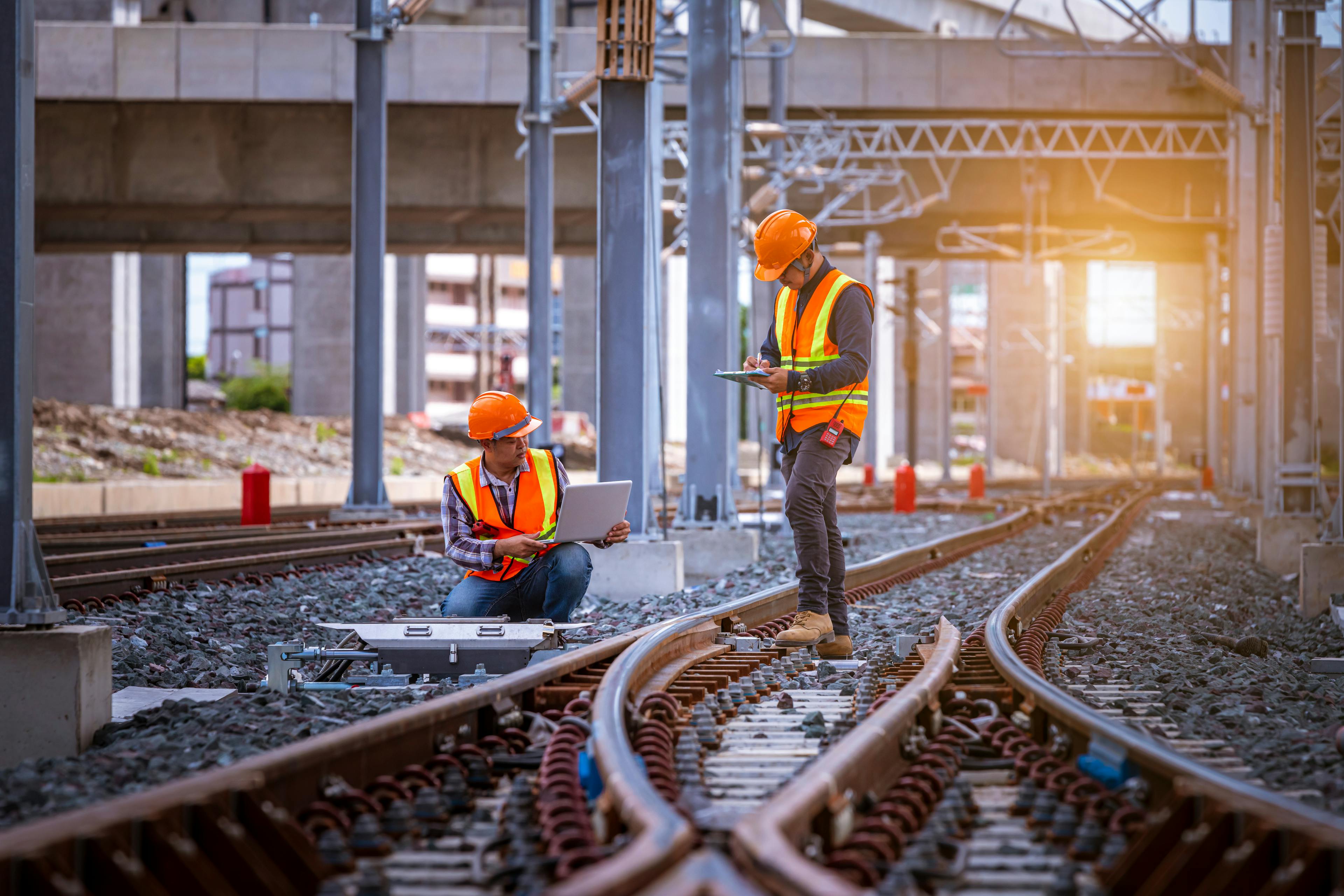

Contact us
Get in touch for Infrastructure services

Leonard Sands
Industry lead - Infrastructure

Careers
Come join us
Exciting challenges. Unforgettable experiences. Work that helps create a more safe and liveable world. These are a few of the things you’ll find at Fugro. Will you join our global team?