Case study
Fugro GPR locates deficient pavement along Pennsylvania Highway
Pennsylvania, United States

Client
Pennsylvania Department of Transportation (PennDOT), District 5-0
Project duration
21 Aug 2020 - 1 Dec 2020
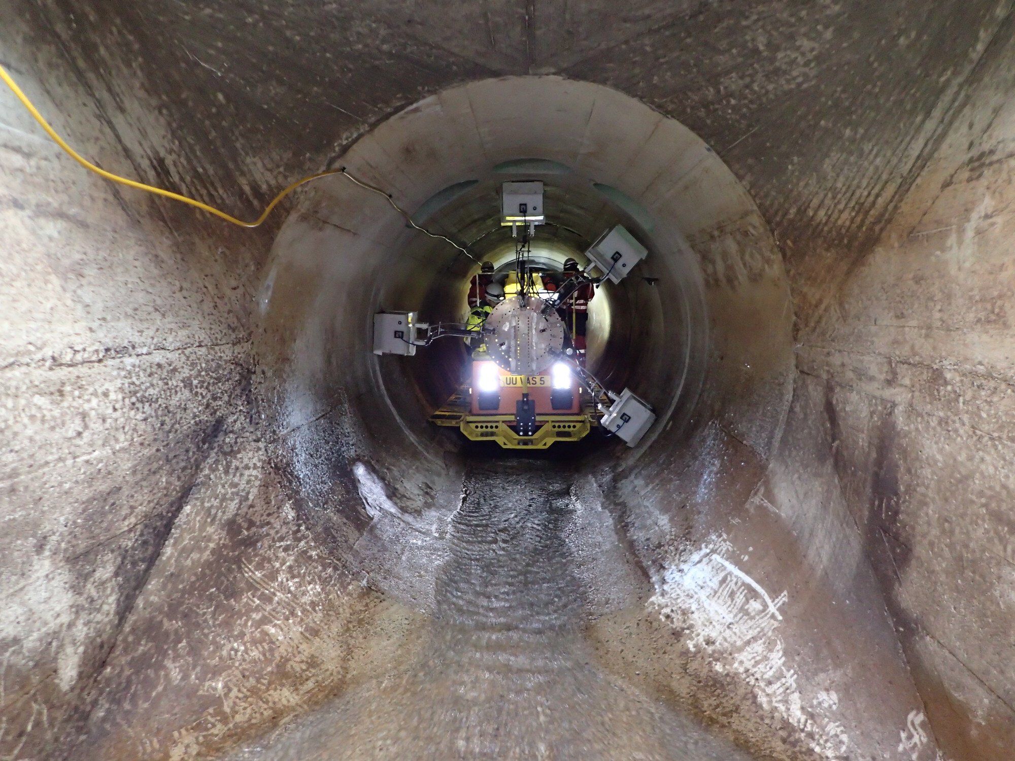
Fugro used ground penetrating radar (GPR) technology to investigate underlying pavement structures on Pennsylvania’s busy Interstate 81 highway and identify weak areas. This non-destructive method was clean, accurate and efficient, with no disruption to traffic flows.
Life cycle
Planning, feasibility, conceptual design
Design
Construction
Operations and maintenance
Decommissioning
Show full process

Ground penetration radar
Ground penetration radar
Ground penetration radar (GPR) identifies below-surface changes in electrical properties by using high-frequency radio waves. It is a clean, accurate and efficient non-destructive method of delivering subsurface surveys
GPR data
miles
Challenge
The Pennsylvania Department of Transportation (PennDOT) noticed sections of the Interstate 81 were failing along the outermost striping of the road.
The concrete base layer needs to span the entire width of the road lane in order to carry the heavy traffic load. However, visible deterioration led PennDOT to suspect that this was not the case in some locations.
To clarify the full extent of the deficiencies, PennDOT commissioned Fugro to locate the edge of the underlying concrete base layer and to identify weak sections where the layer does not reach the outermost striping.
Solution
PennDOT needed precise information about the location of the edge of the underlying concrete base layer, between the right wheel path of the outside lane and the pavement shoulder (see figure below).

Schematic of GPR data collection passes
Non-invasive solution
The traditional method for examining pavement structures involves the extraction of pavement cores. However, this is a labour-intensive process that damages the pavement and requires traffic control – both are factors that add significant time and cost to an investigative project.
Fugro explained to PennDOT that our GPR solution would provide a faster and more cost-effective way to understand what lies beneath the pavement surface. Most importantly, the investigative work can be carried out without disturbing the ground or restricting any travel lanes.
Collecting the data
GPR identifies below-surface changes in electrical properties by using high-frequency radio waves transmitted by two ground-coupled antennas with each using their own frequency.
PennDOT wanted to determine the features of the concrete base layer in a lateral direction to pinpoint weak areas, so we collected detailed GPR data at five different alignments between the right-wheel path and the outer shoulder.
This approach enabled us to provide the resolution and depth of penetration required to track 32 miles of PennDOT’s pavement structures accurately.
Processing and visualising the scans
We used RADAN®, GSSI's state-of-the-art post-processing software, to process and visualise the scans in real time. The software enabled us to stack GPR passes on top of each other, which made direct comparisons between passes far easier (see figure below).

We used specialist software to stack the GPR data collection passes
We used additional resources, including construction history and core images, to verify our GPR results and modify them where needed.
We completed the project on schedule and within budget in just over 14 weeks. The information gained equipped PennDOT with a firm understanding of the precise locations of deficient pavement areas as well as the extent of the deficiencies.
Innovative highlight
We decided to collect data at five different alignments. Capturing a wider swathe of information enabled PennDOT to locate the full area of weakened zones. Our engineers guided PennDOT’s field operators in designing their data collection approach.
Incorporating RADAN® software as part of our solution enabled us to stack and compare the collected GPR passes. If a GPR trace matched with the GPR from the main lane, the underlying structure had a concrete base layer; and if the GPR trace was similar to the shoulder, there was no concrete base layer.
Impact
The services we delivered brought many benefits to PennDOT, including:
Learning how to navigate a new process and new technology, assisted by our patient approach, attention to detail and open, clear communication style;
Achieving an efficient workflow, thanks in part to our knowledge of the client, based on our long-standing working relationship;
Saving money, effort and time by avoiding the extra costs associated with traditional destructive coring methods;
Receiving reliable, detailed and accurate data.
“The deliverable included everything as requested. Communication with the Fugro team members was very clear, concise and effective. This was extremely helpful for those of us who are new to the capabilities of the technology.”
Scott M. Cressman P.E.
Civil Engineer Manager, District Geotechnical Engineer, PA Department of Transportation, Engineering District 5-0

What we do at Fugro