Case study
3D oblique modelling takes mapping to the next level
Pennsylvania, USA

Client
Cambria County
Project duration
February 2017 - Ongoing
Our customised 3D oblique model took Cambria County, Pennsylvania, from a 2D map to a seamless 3D asset management environment. Crossing all departments and spanning the county, the new centralised system is an exciting way of interacting with GIS and imagery that’s providing multiple benefits to county staff and first responders and public interest alike.
Life Cycle
Planning, feasibility, conceptual design
Design
Construction
Operations and maintenance
Decommissioning
Show full process
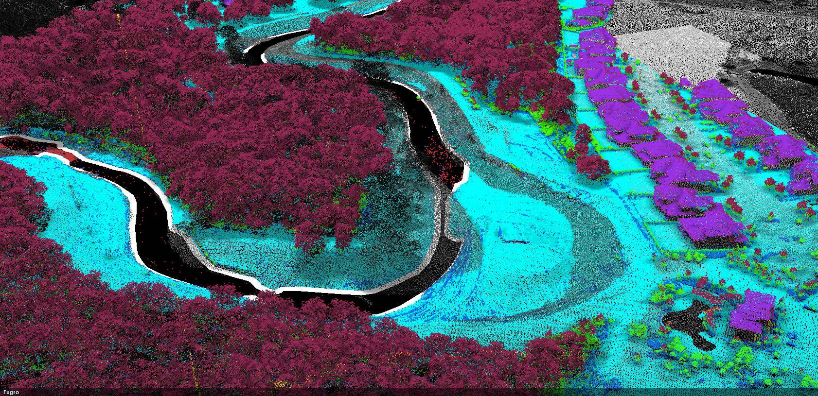
Oblique imagery frames were captured to create the dataset
images
Located in Pennsylvania, USA, Cambria County has vast coal reserves, a seat on the Marcellus Shale and some of the highest wind potential in the eastern United States.
Planning, managing and communicating massive amounts of data effectively is an ongoing challenge for the county’s GIS department. When it tasked Fugro with integrating Cambria’s varied asset datasets into a centralised imagery solution, we recognised the potential to achieve a step-change in performance and efficiency by moving the county away from its reliance on 2D maps to a 3D environment.

3D oblique modelling
3D oblique modelling
Through mapping and surveying our built and natural environment, from the depths of the ocean all the way to space. Our capabilities include aerial mapping, satellite monitoring and mapping, geospatial GIS solutions and more.
We proposed updating the county’s 2009 imagery by introducing three- and six-inch oblique imagery, true orthoimagery, county-wide 3D models and a viewing analysis software package to manage the data.
Cambria’s GIS Director, Steve Kocsis, wanted to “spend smart”, so was delighted when we proposed an opportunity to accomplish his goal of updating the county’s imagery while opening the door to what he described as a whole new way of interacting with GIS and imagery.
With a traditional, flat GIS it can be difficult to visualise ownership of something that’s hundreds of feet below. However, Steve recognised that our solution would enable Cambria’s employees to ‘tilt’ the world within a 3D environment in order to view features located both above and below the surface – giving them access to the complete picture.
Funded by Cambria’s Department of Emergency Services, in spring 2017 our geospatial experts spent around four weeks flying over the 700-square mile county, taking extensive images of towns, neighbourhoods, roads and the surrounding area. Partnering with Skyline Software Systems, a developer of earth visualisation software, we also created an optimal environment for emergency and asset infrastructure planning.
3D oblique modelling
Through mapping and surveying our built and natural environment, from the depths of the ocean all the way to space. Our capabilities include aerial mapping, satellite monitoring and mapping, geospatial GIS solutions and more.
We used PX Mapper, our oblique imagery software, which is completely integrated with Skyline’s TerraExplorer and provides highly accurate, 360° views of infrastructure, simultaneously synched to a 3D model.
PX Mapper features include area, slope, façade and horizontal and vertical measurements; while TerraExplorer’s additional analysis features include flood simulations, time-based spatial analysis, and 3D visualisation and management of above-and below-ground GIS layers.
“This isn’t so much a benefit to only my department or the rest of my government associates. The real benefit is the people that will use this, because the county really did spend smart and picked a great partner in Fugro. A web-accessible platform that visualises surface and subsurface land ownership, mining or mined-out areas, utility infrastructure, and unit-level addressing in apartment and commercial complexes… fantastic!”
Steve Kocsis
Director of Geographic Information Systems, Cambria County
We synchronised the ortho and oblique imagery to the 3D model environment and delivered it in late summer. It has great potential: the technology, combined with our unique data licensing structure, allows the data to be used county-wide, across all departments, without restriction.
Cambria’s E911 dispatch department will use the finalised model environment for crucial addressing and dispatching. County assessors will also use it to perform mass appraisal of assets remotely, saving time and money. And first responders will use the new mapping software to help them plan for and deal with emergency situations more efficiently.
The 3D environment, merged with the county’s existing datasets, has improved spatial analytics and hazard mitigation planning. Cambria has so far incorporated coal contour elevations, well water locations, 3D road layers, building footprints and property parcel information, resulting in a model that not only contains topographic and planimetric layers but geological ones too.

What we do at Fugro