Case study
Low energy seismic reflection surveys for detailed characterisation
Avila Beach, San Luis Obispo County, California, USA

Client
Pacific Gas and Electric Company (PG&E)
Project duration
24 months
The discovery of a newly recognised underwater fault required detailed characterisation to estimate the potential ground motions that it could generate and the potential risks to the power plant.
Life cycle
Planning, feasibility, conceptual design
Design
Construction
Operations and maintenance
Decommissioning
Show full process

SeisWind®
SeisWind®
SeisWind® provides ultra ultra high-resolution seismic data and precise mapping of the near surface geology. Using this data, the site-specific ground model can be enhanced to support efficient planning and design of your offshore wind farm site.
Fugro provides exceptional 3D survey data and detailed characterisation to identify potential risks.
The discovery of a newly recognised underwater fault required detailed characterisation to estimate the potential ground motions that it could generate and the potential risks to the power plant.
In 2008 the United States Geological Survey (USGS), as part of a Cooperative Research and Development Agreement (CRADA) with the Pacific Gas and Electric Company (PG&E), located a previously unrecognised underwater fault* near PG&E’s Diablo Canyon Power Plant (DCPP). Situated near Avila Beach in San Luis Obispo County, California, DCPP is a 2300-megawatt nuclear power generating facility that has operated since 1985. The discovery of this newly recognised fault required detailed characterisation.
Seismic Reflection Surveys
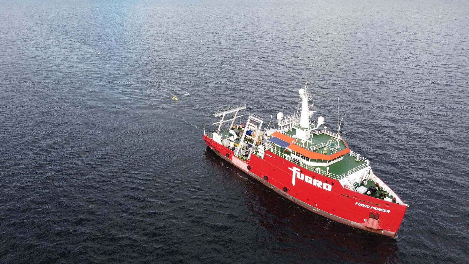
Between 2010 and 2012, Fugro undertook a series of offshore multi-channel low energy seismic reflection surveys using high-resolution GeoEel digital multi-channel hydrophone streamers in both two-dimensional (2D) and three-dimensional (3D) imaging configurations. The 3D array was deployed using Geometrics’ P-Cable system. The P-Cable is a recent innovation in which multiple GeoEel streamers are connected in a parallel arrangement to concurrently acquire multiple, closely spaced 2D seismic reflection profiles, which effectively provide a 3D dataset.
Tailored to meet our specific demands together with those of our client, the digital multi-channel GeoEel and P-Cable systems are of extremely high resolution and fidelity. The central California survey site is highly regulated to protect marine wildlife, especially mammals, from human activity; we possess an annual survey permit that allows us to undertake geophysical surveys using low-energy (<2 kJ) seismic sources. One of the key factors in selecting a seismic reflection acquisition system is therefore the ability to incorporate a low-energy seismic source while ensuring high data quality.
Fault Zones
Our characterisation efforts began with concurrent 2D and 3D seismic reflection surveys intended to image the northern extent of the Shoreline Fault Zone and its potential intersection with the Hosgri Fault Zone. For this initial survey, we deployed an array of four streamers in a traditional multi-streamer arrangement, whereby each GeoEel was towed directly from the stern of the vessel.
A more robust 3D survey system capable of covering wider swaths of the seafloor (P-Cable) was used to image both the southern end of the Shoreline Fault Zone in San Luis Bay as well as segments of the Hosgri Fault Zone offshore Point Sal and in Estero Bay.
One of the very first commercially available iterations of the P-Cable system was deployed on this project using a 14-streamer array in December 2011. Recent improvements to the system include enhancement of the GeoEel positioning, with highly sensitive depth pressure gauges evenly spaced along the cross-cable and digital compasses placed in front and back of the streamers. Combined with GPS antennae on the paravanes, tripoints and the seismic source, this allows precise modelling of the location of each hydrophone group and common depth point during data acquisition. Accurate positioning of the array is crucial for 3D seismic data processing and results in greatly improved data resolution.

*Dr. Jeanne Hardebeck, research seismologist for the USGS, is credited with recognising the discovery of the Shoreline Fault in 2008 using PG&E and USGS data. Main image courtesy of PG&E
“The quality of the resulting 3D data was described as “stunning” by both PG&E and the California Public Utilities Independent Peer Review Panel.”
How we can help you
We offer multi-channel seismic reflection surveys in offshore locations, incorporating low energy seismic sources for regulated environments. For tailored advice and solutions, get in touch with us.

What we do at Fugro