Fugro SpaceStar®
Jump to
Introduction
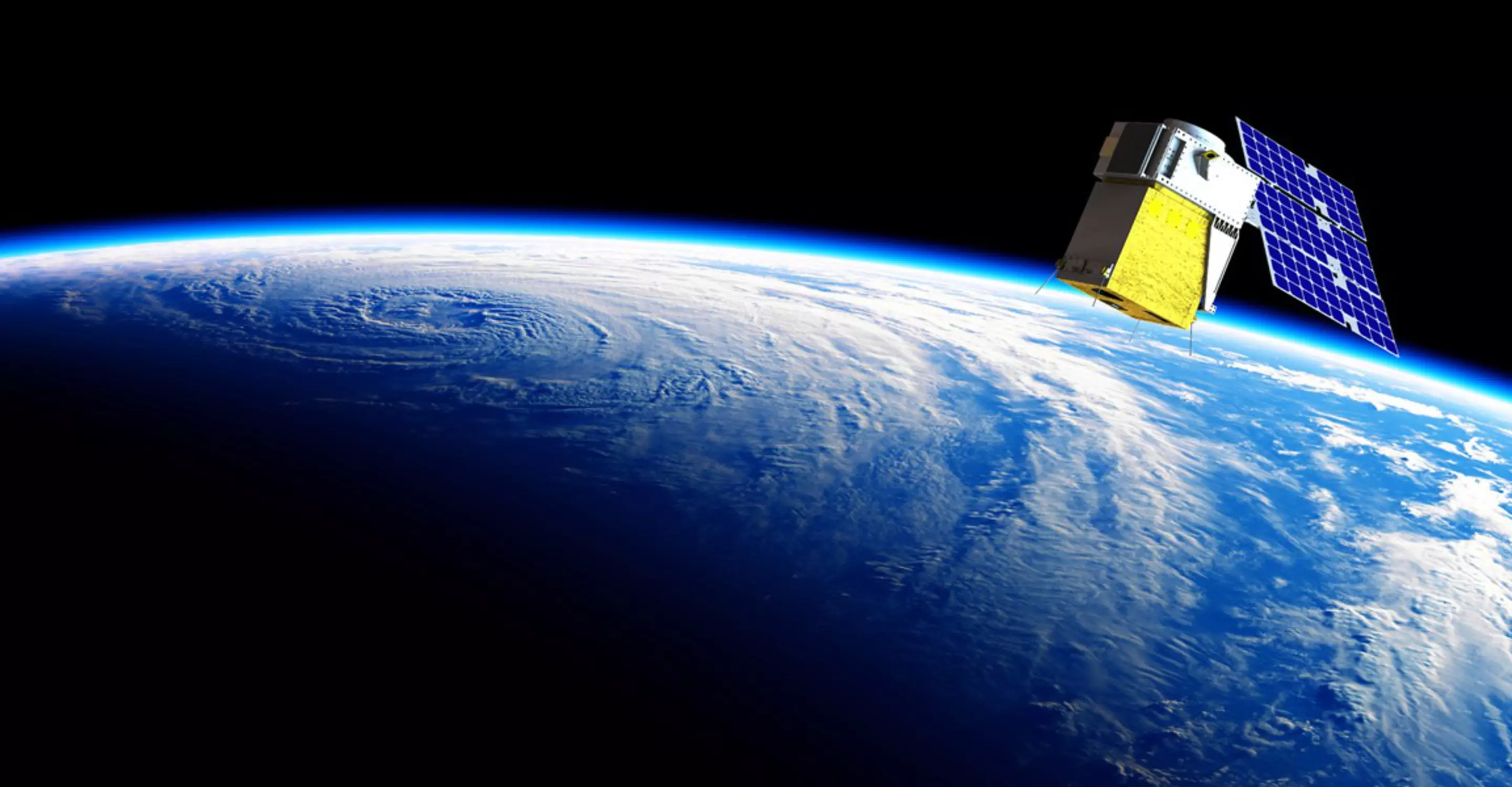
Highly accurate positioning in low Earth orbit (LEO) is becoming increasingly important for Earth observation applications, safe constellations management, and space debris collision avoidance. Fugro SpaceStar® LEO satellite technology delivers autonomous real-time on-board positioning to LEO satellites, with unprecedented accuracy.

James Bartle
Global lead - Fugro SpaceStar®
SpaceStar® obtains sub-decimetre absolute positioning and nanosecond-level timing on board a LEO satellite without additional ground-infrastructure for the satellite operator. SpaceStar® is based upon our proven Precise Point Positioning (PPP) technique, including multi-constellation and multi-frequency Global Navigation Satellite Systems (GNSS) technology with real-time orbit/clock corrections delivered via L-band signal from geostationary (GEO) satellites.
Benefits
Increases quality and safety of in-orbit manoeuvres by using onboard real-time position and velocity data to reduce collision risks.
SpaceStar® is a software-based solution that replaces alternative positioning technologies such as Laser/Vision/High RF intersatellite links saving costs.
The onboard positioning software can be upgraded while the LEO satellite is in orbit, allowing access to the latest state-of-the-art positioning technology even after launch.
Compatible with standard components and requires no additional payload.
Unprecedented position, velocity and time accuracy enables onboard processing and reduces latency. This limits the need of post-processing and related architecture, increasing cost savings for the satellite operator.
Capabilities
Our GNSS software solutions support best-in-class high-accuracy positioning by using high quality raw-data, proprietary technology and services based on our own global GNSS reference receiver network. With SpaceStar® technology we deliver improved performance without any additional ground infrastructure.

Applications
SpaceStar® precise navigation technology can be applied to a variety of applications, including:
Enhanced Space Situation Awareness
Precise state vector knowledge allows us to optimise collision avoidance manoeuvres, reduce the number of collision warnings, increase mission safety and reduced operational effort.
Precise Thruster optimisation
Real-time delta-V knowledge can be used to measure the performance of on-board thrusters, as well as optimise fuel consumption to perform in-orbit manoeuvres.
Close Proximity Operations and Auto Docking
Applications related to docking or in-orbit servicing require precise orbit knowledge to minimise collision risk. Using sub-decimetre SpaceStar®-enabled GNSS positioning can help reduce dependencies on heavier payloads (such as cameras or radars), while providing enhanced integrity for GNSS-based position and velocity.
Earth Observation applications
Many Earth observation applications, such as GNSS radio-occultation or synthetic-aperture radar (SAR), require precision orbit estimation to process instrument data. On-board precise orbit estimation allows us to perform on-board data processing, thus increasing mission autonomy and scalability.
RF Geolocation
The error on RF geolocation from space depends heavily on the orbit and clock errors of the LEO constellation performing RF sensing. By leveraging SpaceStar® the accuracy of the RF geolocation on the Earth surface can significantly increase.
GNSS Global Reference Network
Our network is built on Global Navigation Satellite Systems (GNSS), dual network control centres, and more than 100 geodetic reference receivers positioned on all continents, guaranteeing high-quality data and services.
Real Time Precise Orbit & Clock
We compute precise orbit/clock/hardware errors for all GNSS satellites in real time and deliver them to LEO users via 7 GEO satellites.
High Availability & Redundancy
With dual primary network and shadow control centres, interconnected via trunk lines, we have proven uptime of over 99.999 %.

Engineering Matters Podcast
New Space: Satellite Positioning
As the regions of space around Earth become increasingly crowded with new satellites, the most popular orbits are becoming hazardous and could reach a level at which a collision between two objects would result in a cascade.
Contact us
Fugro Spacestar®

James Bartle
Global lead - Fugro SpaceStar®

Come join us
Exciting challenges. Unforgettable experiences. Work that helps create a more safe and liveable world. These are a few of the things you’ll find at Fugro. Will you join our global team?