Long read
Flying high to map our oceans and coastlines
Published
02 Jun 2023
Author
Mark MacDonald – Director Marine Hydrography Americas
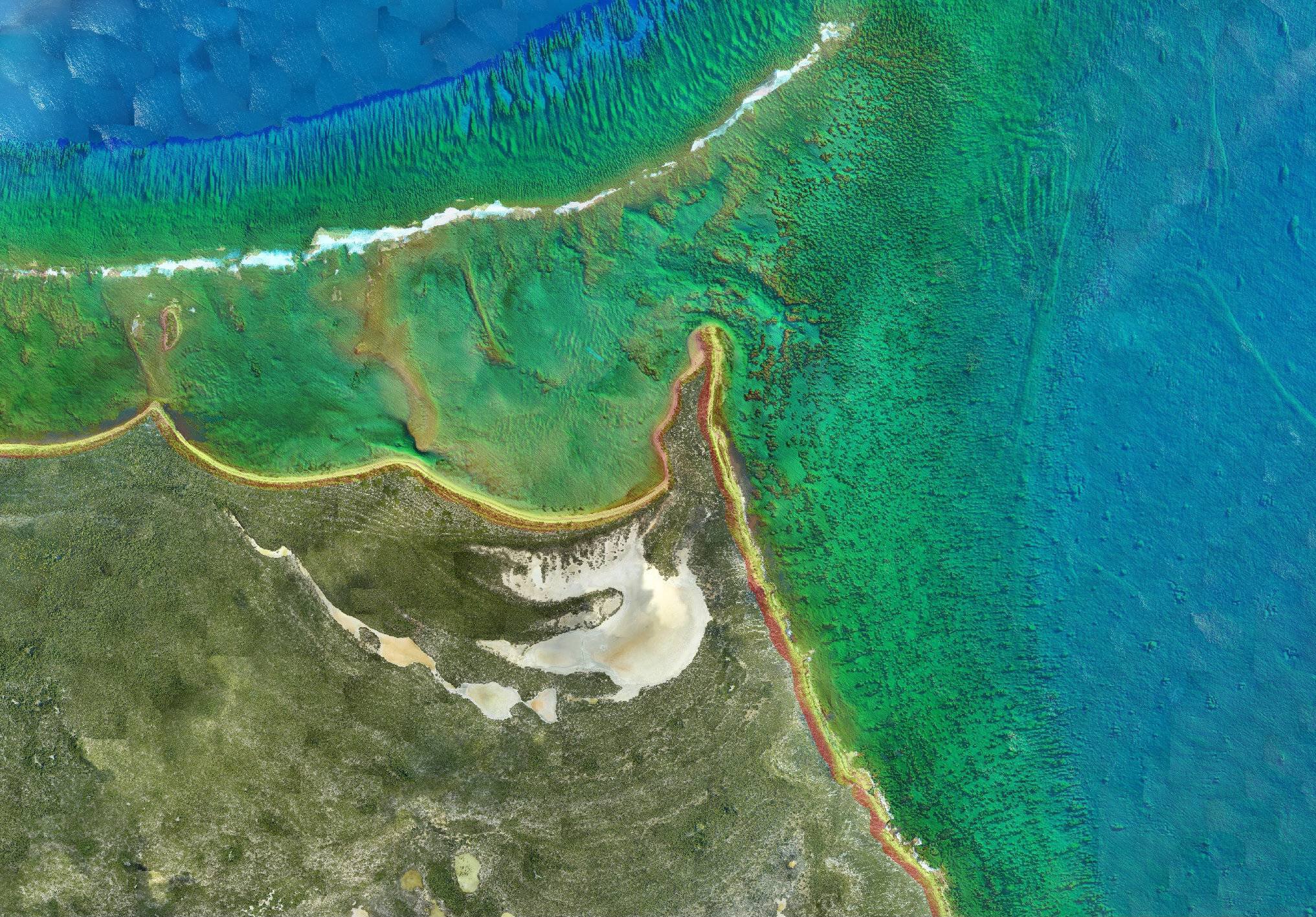
Airborne lidar bathymetry (ALB) is used to map the depth of our nearshore ocean environments and coastlines. During the last 30 years, ALB system capabilities have transformed to meet evolving hydrography and maritime cartography industry needs. But why has it become the technology of choice for ocean-mapping activities?
Historically, ocean mapping activities were performed acoustically using vessels. The vessels’ main purpose was nautical charting and the military was often responsible for completing this task. But these transition zones are difficult to cover by large vessels and carry a lot of risks due to the changes in depth and terrain both offshore and onshore.
The evolution of ALB technology
In the ‘70s, ALB technology was developed to help the military detect potentially dangerous devices like mines in a faster, safer and more efficient way. We recognised that it has a broader commercial potential, so in the late ‘80s and ‘90s we started to explore how we could adapt this military technology for use in seabed mapping and bathymetry.
Demand for ALB’s high-density, high-resolution and highly accurate data continues to diversify and grow. ALB surveys can help many applications such as navigation safety, habitat preservation and protection, coastal resilience and much more. ALB can support all these tasks without impacting the environment and putting surveyors at risk.
Today, ALB technology also supports coastal zone management and coastal resilience – the data can be used to monitor, model and mitigate the impacts of climate change (such as storm surges and sea-level rise) on coastal communities. It is also proving vital to the renewable energy sector (wind farms), experts in marine and coastal engineering, and the oil and gas sector.
The benefits
There are many reasons to use ALB for ocean mapping, including:
Faster data acquisition
The average survey speed for an aircraft is 140 knots, compared to six knots for a typical vessel
An aircraft flying at 300 metres can achieve a swath width of up to 300 metres in a single pass
With ALB surveys, the swath remains the same, regardless of water depth. But for vessel-based acoustic surveys, as the water gets shallower the swath reduces – so the time taken to complete the ocean-mapping activity increases exponentially.
Higher definition
ALB surveys provide the high-definition data needed to support today’s nautical charting, subsea hazard identification and seabed classification activities
High-definition data are a must in mapping and identifying the areas most at risk from storm surges to help protect the coastline and the livelihoods and lives of coastal communities
Change detection activities (comparing pre- and post-development environmental surveys) are far more accurate when based on high-definition data.
Safer operations
All ALB surveys are performed above the water surface, so there’s no need to worry about dangers that may lie beneath it, like unexploded ordnance. In sharp contrast, when a nautical vessel surveys unmapped shallow water, there’s a very high risk of it running aground, damaging the hull and jeopardising the safety of everyone onboard.

The RAMMS dual laser system set up is compatible with an aircraft or uncrewed aerial vehicle
Technology developments
A growing interest in remote sensing and analytics is driving demand for technology developments linked to these domains over the past few years. ALB has especially gained more recognition in the importance of high-resolution data to help better manage our marine environments in the nearshore and coastal zones. More compact and efficient ALB systems can improve depth penetration, costs, speed and reduce risks for projects.
For example, our Rapid Airborne Multibeam Mapping System (RAMMS) uses next-generation ALB technology to deliver accurate, high-resolution nearshore and coastal mapping data. Over the years, we have continuously improved the system to make sure we provide our clients with:
Fast data turnaround delivering results in near real-time rather than days
Superior data coverage and resolution throughout the three-times the visual water clarity
Standard turnkey products, such as fully attributed point cloud data, reflectance imagery and optical imagery from its integrated camera system
Fast and easy mobilisation (the system is so small that it can be used on small aircrafts and checked in on flights as baggage), acquisition and processing
Reduce environmental footprint – the aircraft burns significantly less fuel during survey activities, which enables flight times to be extended (we’ve recognised up to 100 % increase in aircraft endurance
Data integration – RAMMS is highly compatible with other airborne sensors
What is on the horizon
We are currently in the acceptance phase of two important improvements to the system that will provide significant benefits to our clients including:
Higher resolution with dual laser capability – the upgrade will provide approximately six points per square metre compared to our current sensors capability at three points per square metre. The higher-resolution data will enhance visual understanding, increase confidence in the dataset and enable us to achieve in one pass what we could previously achieve in two.
Speedier delivery from our unique full water column (FWC) capability – clients using RAMMS will soon be able to see a cross-section profile of the entire swath (we have achieved a depth of 50 m so far in clear water at the edge of coral reefs). This increased depth capability will enable us to produce deliverables such as charts and seabed classifications more quickly.
It’s a definitive return – our FWC solution enables clients to see the entire seafloor, which increases statistical confidence.
Watch this space!
Did you know?
RAMMS is the only deep penetrating airborne lidar bathymetry system capable of flying on an uncrewed aerial vehicle
RAMMS is the only sensor capable of delivering full water column data

Expertise