Sustainability
David Millar authors chapter in new Blue Economy book
Published
06 Dec 2021
Author
Shannon Earl
“The New Blue Economy is knowledge-based, using scientific data and information about the sea not just for the benefit of material wealth, but also to identify and inspire solutions to environmental and societal challenges.” —Dr. Rick Spinrad, US National Oceanic and Atmospheric Administration
“The demographic of the ocean mapping community is diversifying and becoming more inclusive. This change is enabled not only by technology developments...but also by the broader application of ocean mapping data to ocean science in general.”
Fugro's David Millar
from his chapter in Preparing a Workforce for the New Blue Economy.
Progress toward a wholly mapped ocean
The chapter starts by describing the general lack of good bathymetry data globally, noting how this deficiency inhibits sustainable ocean development. Millar goes on to describe multibeam echosounder technology as an ideal tool for producing the high-resolution bathymetry needed to ensure a wholly mapped ocean, and provides insights as to how ancillary multibeam datasets can also serve multiple other ocean science applications.
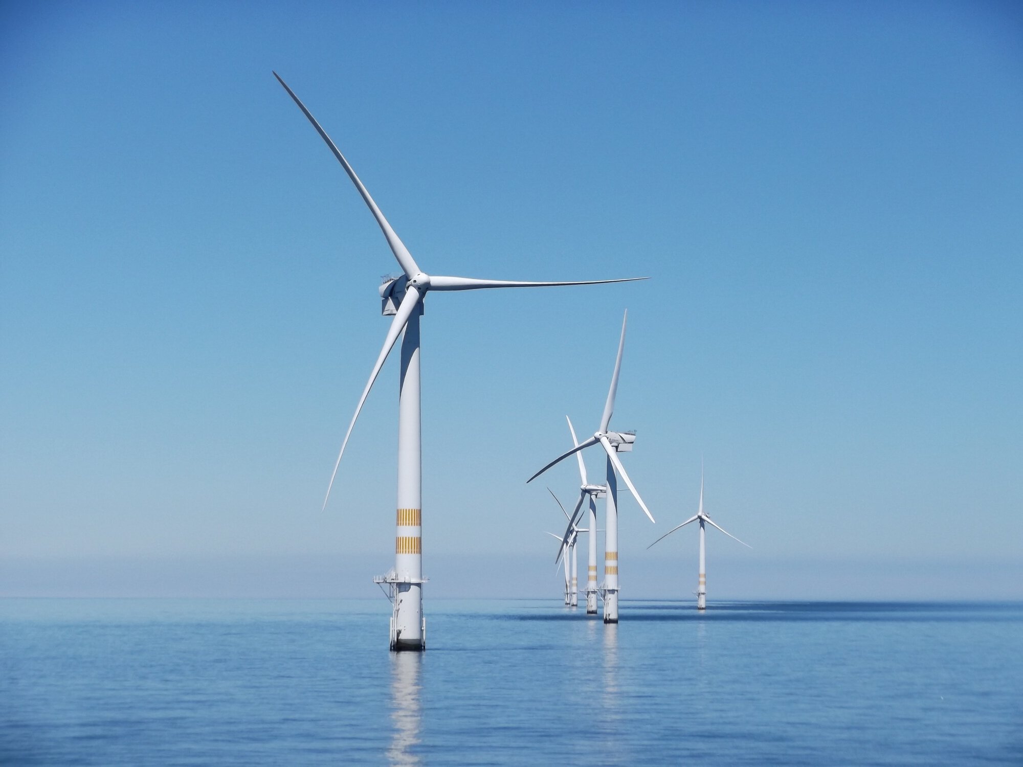
Innovations to enable faster, safer, and more cost-effective and sustainable multibeam data acquisition and delivery are also explored, including remote operations, autonomous vehicle and robotic technologies, and artificial intelligence (AI) and cloud processing. Fugro’s own recent investments in uncrewed platforms, such as the Blue Shadow® and Blue Essence® and remote delivery mechanisms are offered as examples of this industry trend.

Fugro's Blue Shadow®, an example of Fugro’s next-generation uncrewed technologies that are helping to increase data acquisition efficiency, reduce HSSE exposure, reduce carbon footprints and accelerate project schedules on hydrographic projects.
Evolving needs in the workforce
The chapter also looks at the New Blue Economy from a human resources perspective. As technology continues to advance, Millar projects a reduced need for field-based surveyors in the coming years, and an increased need for ocean mapping expertise combined with high-tech skills, such as those required by remote, autonomous, and robotic technologies. He also envisions expanded opportunities for individuals who can apply ocean science data to answer various and pressing policy- and business-related challenges.
Working for the greater good
Millar closes the chapter with a call for private sector engagement in global ocean science initiatives that are working to ensure a wholly mapped ocean. These include The Nippon Foundation‑GEBCO Seabed 2030 Project and the UN Ocean Decade of Science for Sustainable Development (2021-2030), both of which are championed by Fugro.
He writes: "The ocean is a shared resource, and it will take all of us working in the marine community to safeguard its future. Becoming part of the global push to improve ocean knowledge now, via seafloor mapping, will help ensure a sustainable ocean economy for decades to come."
Did you know?
More than 3 billion people across the globe rely on the ocean for their livelihoods.

What we do at Fugro