Surveying and mapping
Jump to
Expertise
The best decision is an informed decision. That’s why we deliver the power of Geo-data into your hands – so you’ll be equipped with expert insights and advice. How do we collect this data? Through mapping and surveying our built and natural environment, from the depths of the ocean all the way to space. Our capabilities include aerial mapping, satellite monitoring and mapping, geospatial GIS solutions and more. After collection, we transform the data into valuable information and solutions. So you can be sure your assets or infrastructure is designed, built, and operated safely and sustainably.

Pooja Mahapatra
Global lead - Surveying and mapping
Key figures
square miles in North America
coverage of Sense.Lidar®
% lidar classification accuracy
% faster point cloud classification
than using traditional techniques
Case study
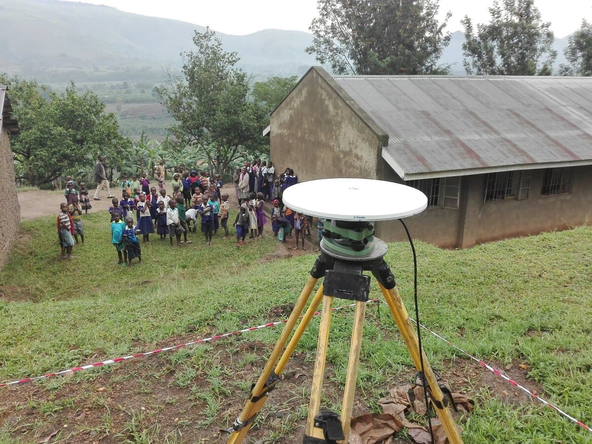
Establishing a National Geodetic Reference Frame in Uganda
We established an accurate national geodetic reference frame in Uganda, comprising 12 CORS and 426 geodetic markers.
Case study
Malleefowl mounds mapped using remote sensing technology
Mount Gibson Gold Project is approximately 280 km northeast of Perth, Australia. This region is home to Malleefowl (Leipoa ocellata), an indigenous ground-dwelling bird listed as vulnerable.
Case study
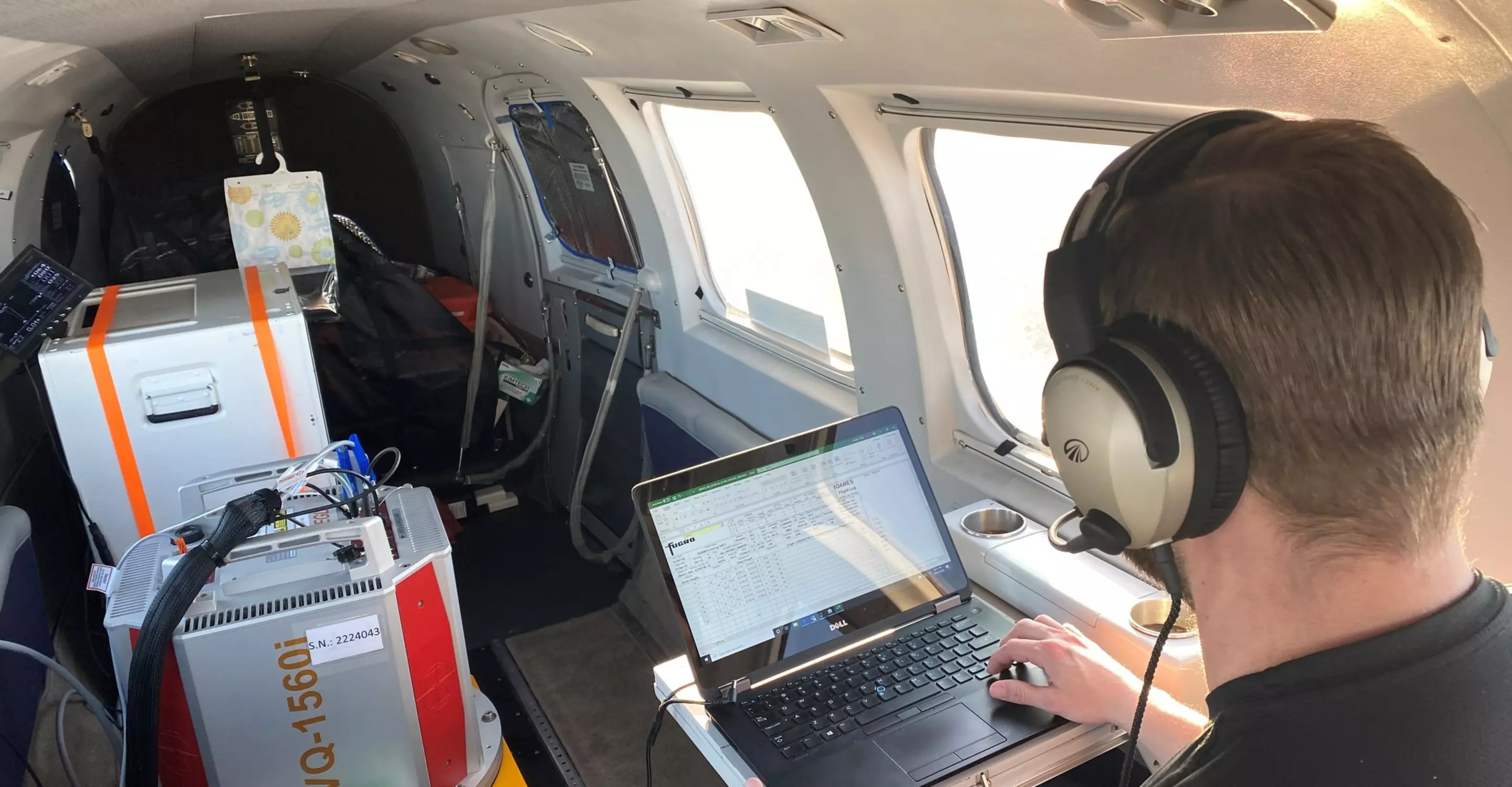
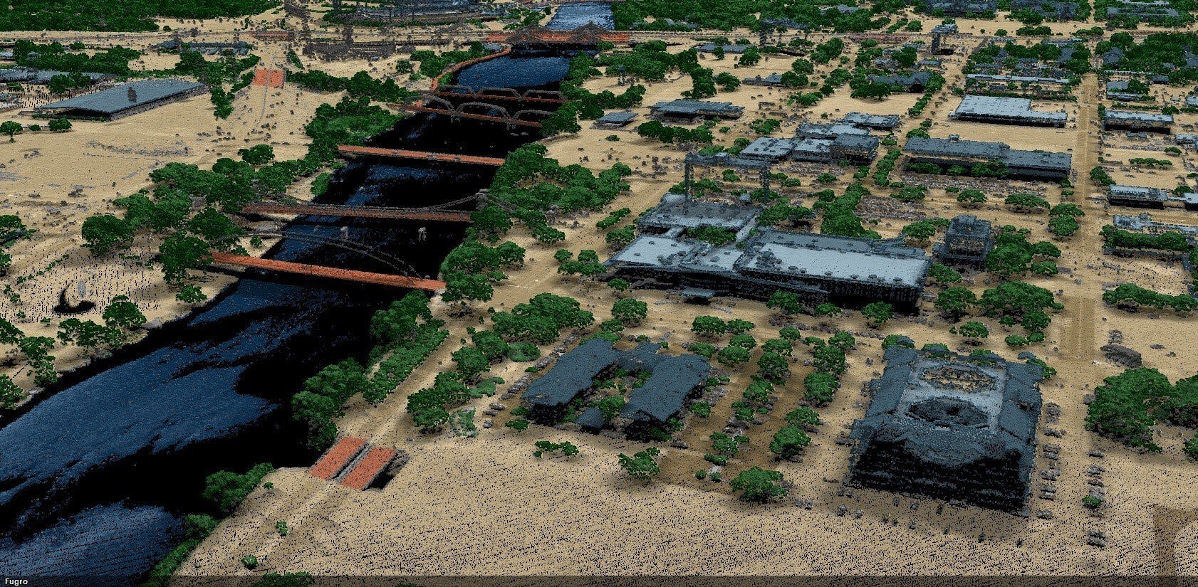
Texas coastal Lidar: Mapping in full flow
After Hurricane Harvey, Fugro acquired nearly 10,000 square miles of high-resolution lidar elevation data over Houston, Texas, and the surrounding coast.
1 / 3
Related publications
All publicationsContact us
Get in touch for surveying and mapping

Pooja Mahapatra
Global lead - Surveying and mapping

Keith Owens
Regional lead Americas - Surveying and mapping

Cristian Gordini
Regional lead Asia Pacific - Surveying and mapping

Peter Menting
Regional lead Europe & Africa - Surveying and mapping

Manoj Antony
Regional lead Middle East & India - Surveying and mapping

Come join us
Exciting challenges. Unforgettable experiences. Work that helps create a more safe and liveable world. These are a few of the things you’ll find at Fugro. Will you join our global team?